
Date modified: 2024-02-23
Share this page:

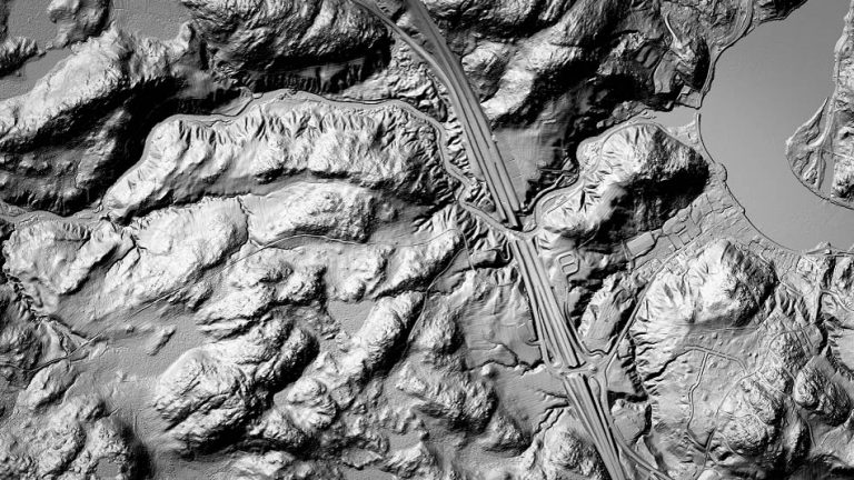
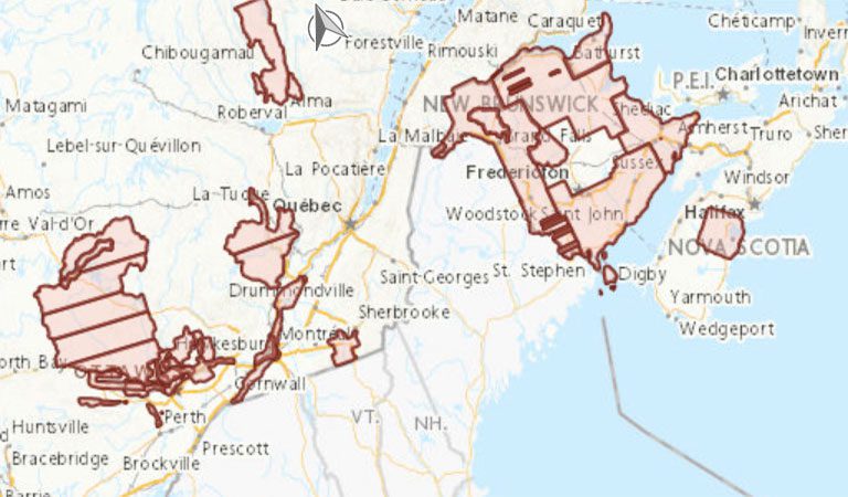
Canadian federal, provincial and territorial government geospatial data providers collaborate to provide tools and resources to help Canadians plan and prepare for floods.

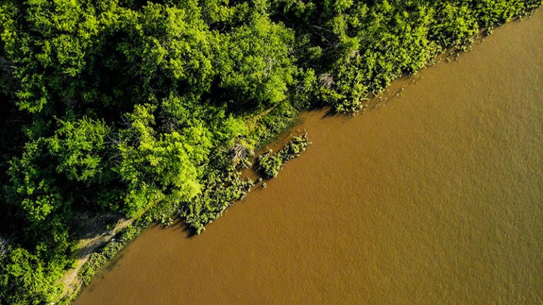
Learn about and download time-enabled data created using Artificial Intelligence (AI).
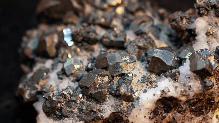
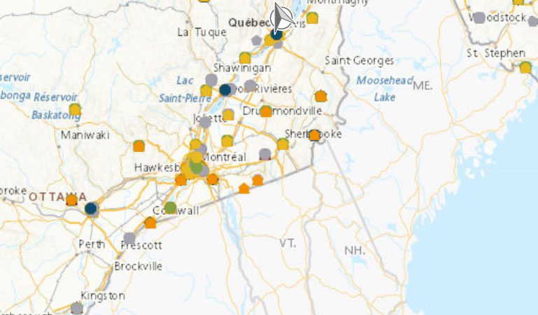
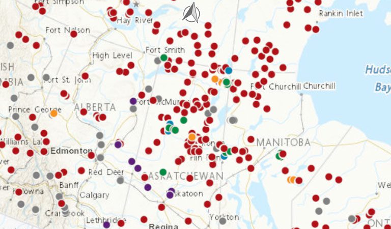
Discover tools and resources to help strengthen the supply chains of critical minerals.

Learn how to use and contribute to a standard for simple, accessible, and programmable web maps.

The Canadian Geospatial Data Infrastructure (CGDI) is a collection of publicly available geospatial data, applications, policies, and standards.

The GeoBase initiative provides access to, national geospatial foundational data for Canada’s land, water, and infrastructure.