Arctic Spatial Data Infrastructure (Arctic SDI)

The Arctic SDI is a collaborative partner-based effort of the National Mapping Agencies of the Arctic.

On this page

About Arctic SDI

Think of the Arctic Spatial Data Infrastructure (SDI) as a highly specialized global information highway. It provides a framework where users can connect to geographic data from numerous sources to create a sum that is the greater than the parts. This resource allows diverse data to flow worldwide and to be combined and analyzed across nations, communities and agencies. Common standards enable users to share and integrate layers of data and information like place names, topography, rivers and lakes, land cover, permafrost and biodiversity.

The Arctic SDI was developed by the National Mapping Agencies of the Arctic Council member states, including Canada, through Natural Resources Canada’s (NRCan) Canada Centre for Mapping and Earth Observation (CCMEO). It is an example of scientific diplomacy and technical collaboration that continues to support Arctic Council priorities related to climate change and sustainable development. It also supports Indigenous and community resiliency projects, enabling forecasting, monitoring, mitigation and management of climate change impacts.

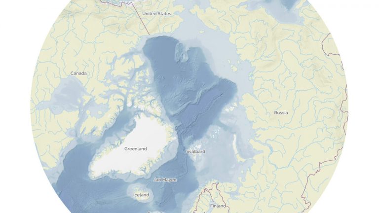
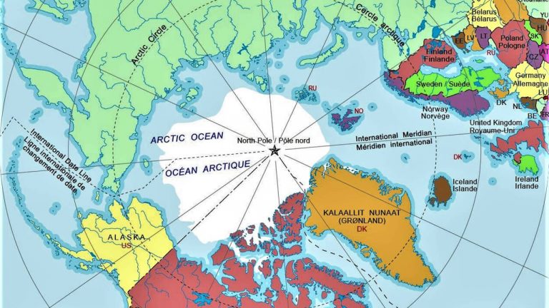
It is 1/6 of the earth’s area; It covers 30 Million square kilometers; It is all time zones; It has 8 Countries; It has a population of over 4 million; It has over 40 indigenous languages; It has unique Biodiversity; This is the Arctic.

A vast number of diverse data sets are produced and distributed by many public and private stakeholders around the world; With a focus on thematic areas including:

  • Sustainable development;
  • Flora and fauna;
  • Contaminants;
  • Monitoring and Assessment;
  • Protecting the marine environment and;
  • Emergency preparedness and response.

These datasets are tied to a location and are geographically referenced. A spatial data infrastructure provides a rich data sharing environment for data distributors to publish in a standardized manner thus enabling analysts easy access and methods to combine diverse sources of information.

In order to predict, understand and react to changes and activities in the Arctic; 8 National Mapping Agencies of the Arctic Countries came together in partnership; With international agreements on standards to enable the discovery – and – use of Geospatial Information and provide improved access to geospatial data; Through the Arctic Spatial Data Infrastructure Portal.

The Arctic SDI is an infrastructure that aims to provide easy access to:

  • A Web based Geoportal for viewing and discovering Geospatial data;
  • Authoritative reference data made available from the 8 National Mapping Agencies and international organizations via standards;

By improving access to geospatial data; the Arctic SDI can help us better to predict, understand and react to changes in the Arctic. A response to the impact of climate change and human activities in the Arctic, requires accessible and reliable data to facilitate:

  • Monitoring;
  • Management;
  • Emergency preparedness and
  • Decision-making;

The Arctic SDI will provide access to geographically related Arctic data; Digital Maps and tools. These applications lead and guide the development of the Arctic spatial data infrastructure. Information and documentation available by visiting arctic-sdi.org.

Pan-Arctic Wetland Inventory

Natural Resources Canada and international Arctic partners, including Arctic Council’s biodiversity group, national organizations mandated to monitor wetlands and Arctic National Mapping Agencies, have produced the first pan‑Arctic wetlands map using Earth observation data, machine‑learning classification, and modern cloud technologies. 

Background of the inventory

The dataset shows the major wetland types that circle the Arctic. It provides the first high-resolution (10 m) wetland map covering the entire 32.2 million km² Pan-Arctic region, produced using multi-year satellite imagery from 2020 to 2022 and advanced machine learning techniques. The dataset identifies nearly 3 million km² of wetland, about 20% of the Arctic’s land area, classified according to the Canadian Wetland Classification System. This authoritative dataset supports:

  • climate change monitoring and climate research
  • environmental monitoring
  • decision-making across the Arctic nations and northern communities

Learn more about the wetlands dataset

Arctic SDI services

Access the main web services from ArcticSDI, including the basemap, a geolocator, and the metadata catalogue to find arctic data sources.

Arctic SDI Topographic Basemap

Reference basemap for the Arctic enabling users to display their data in applications such as websites.

Arctic SDI Gazetteer Service

Detailed place name information collected from the countries in the Arctic region.

Arctic SDI Metadata Catalogue

A catalogue application of metadata records of spatially referenced datasets related to the Arctic region.

Resources

Find key links, reports and resources to learn about the Arctic SDI.

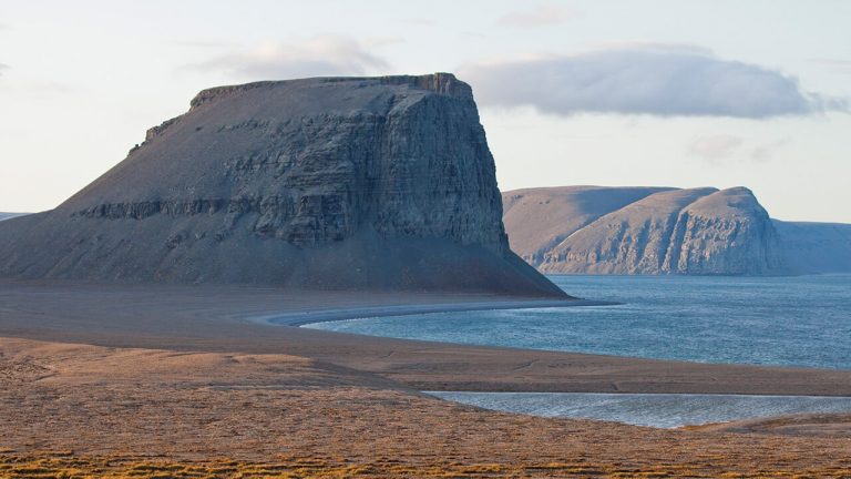
Caswell Tower, Gascoyne Inlet, NU.

Arctic SDI

Visit the Arctic SDI website to learn more about this collaborative initiative of various national mapping agencies.

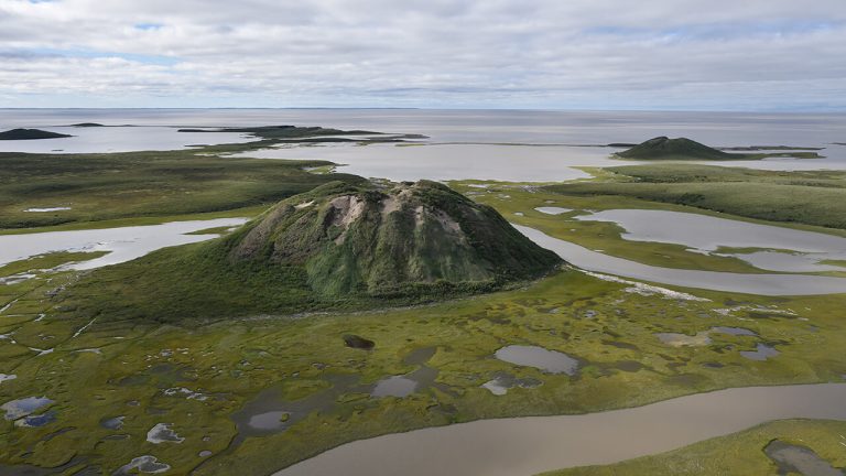
High-slope, 47-m high Ibyuk pingo (foreground) and Split pingo (in distance) near Tuktoyaktuk

Arctic SDI Evaluation Framework

The Framework (2017) assists in establishing how the Arctic SDI facilitates interoperability of arctic geospatial information.

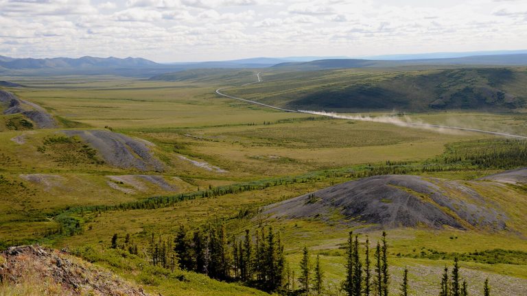
Looking southwest across the Eagle Plain at rounded grey knolls of oil- and gas-rich Canol Formation on the west-facing slope of the Richardson Mountains, northern Yukon.

Spatial data infrastructure (SDI) manual for the Arctic

Learn the details of the Arctic SDI with guidance on information management practices.

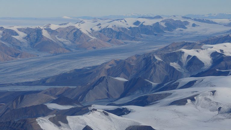
Aerial view of mountain range and glaciers en route to Eureka weather station, Ellesmere Island, Nunavut.

Arctic SDI Strategic Documents

Visit the Arctic SDI website for biennial reports, factsheets, governing documents, user needs assessment and more.

The Arctic SDI brings together mapping agencies from eight countries: Canada, Denmark, Finland, Iceland, Norway, Russia, Sweden and the United States.

Simply Science Article

A global information highway to meet the challenges of a fragile Arctic ecosystem. Learn more about the Arctic in this Simply Science article.