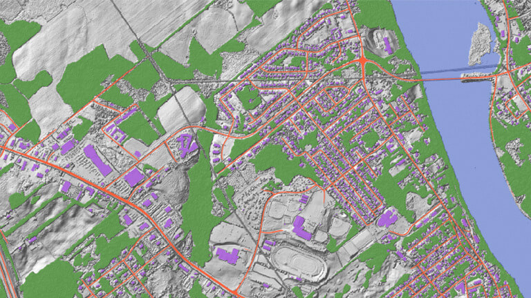
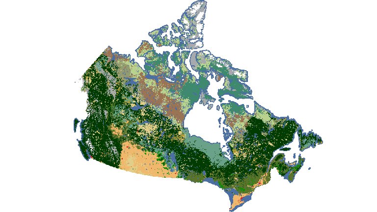
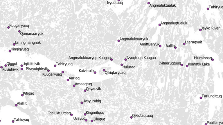
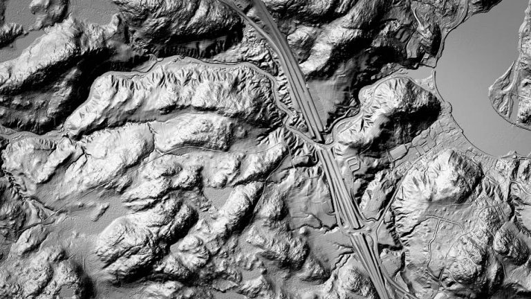
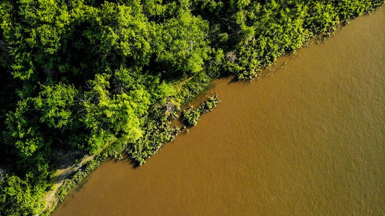
GEO.ca is the definitive source for Canada’s open geospatial information.

Open data. Applications. Maps. And more. Discover it all on GEO.ca, along with the tools you need to visualize, analyze and share the insights you create. Unlock the power of location here.

Browse by theme

Popular Maps and Datasets

The downtown buildings of Vancouver, British Columbia at dusk with a body of water and mountains in the background

Automatically Extracted Buildings

A collection of open data on buildings - primarily building footprints.

An sepia-toned aerial view of Canadian elevation features using slope, shaded relief and colour shaded relief maps

Canadian Digital Elevation Model

A national view of Canadian elevation features using slope, shaded relief and colour-shaded relief maps.

A cloudy sky over the ocean and rocky coast and evergreens of Bowen Island, British Columbia

National Hydro Network – NHN – GeoBase Series

Quality geometric descriptions and basic attributes describing Canada’s inland surface waters.

In the Spotlight

Hand reaching towards sunset

GEO in the News

Explore, discover and read about what’s current and innovative in GEO across Canada.

People waving Canadian Flags at sunset

Discover the Value of GEO

Discover and read about the latest activities, products and applications being used in Canada and how they contribute to the value of GEO.

View of a cityscape next to a body of water.

Flood Mapping

Canadian federal, provincial and territorial geospatial data providers are collaborating to provide tools and resources to help Canadians plan and prepare for floods.

Foundation Data

Foundation data represent the core features of Canada’s land, water and infrastructure. Discover them here.

Show Buttons
Hide Buttons