Initiatives
Discover featured geospatial initiatives that drive development of new datasets and innovations.

The GeoBase initiative provides access to, national geospatial foundational data for Canada’s land, water, and infrastructure.

Canadian federal, provincial and territorial government geospatial data providers collaborate to provide tools and resources to help Canadians plan and prepare for floods.

Learn how to use and contribute a standard for simple, accessible, and programmable web maps.

Canadian geological survey organizations are collaborating to provide tools and resources to help strengthen the supply chains of critical minerals.
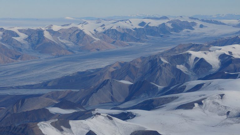
Discover Arctic geographic data through this collaborative partner-based effort of the National Mapping Agencies of the Arctic.

A User Needs Assessment (UNA) for the Canadian Geospatial Data Infrastructure (CGDI) was conducted to understand Canadian user requirements, including those of Indigenous organizations, and curated data products were developed to address them.
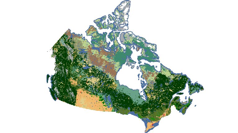
Mapping products derived from satellite imagery depict Canada’s vast landscapes, such as land cover, water resources, snow and ice extent, vegetation cover indicators and more.
The strategy provides high-resolution, accurate and up-to-date elevation data for Canada
Discover the data, resources, and how to use GeoAI, a foundational data series created using Artificial Intelligence.
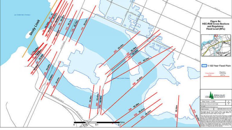
Explore available flood hazard maps in your area in Canada and how you can access them.
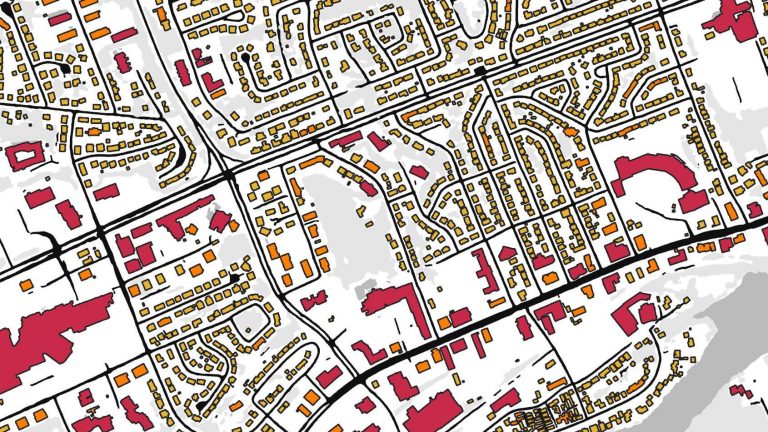
This hydrospatial network enables geospatial analyses to model surface water flow.