Canadian Hydrospatial Network (CHN)
Canada’s new, higher-resolution hydrographic network.
Canada’s new, higher-resolution hydrographic network.
Home / Initiatives / GeoBase / Canadian Hydrospatial Network (CHN)
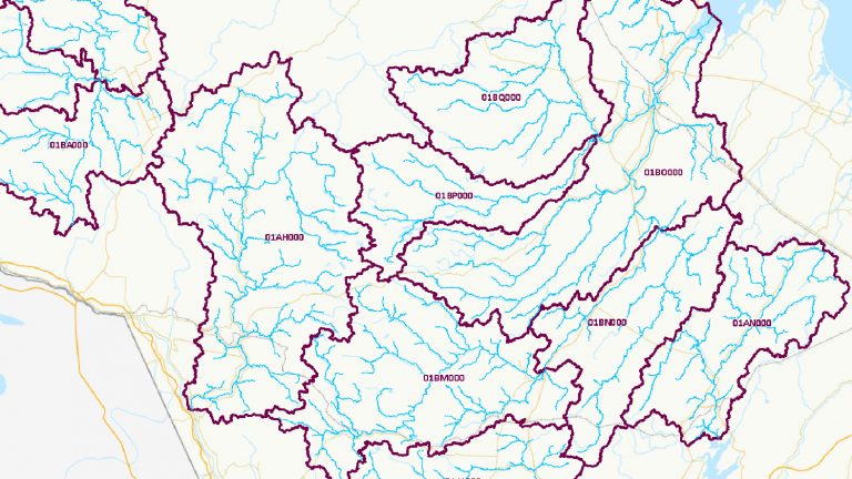
The Canadian Hydrospatial Network (CHN) is an advancement in hydrographic data for Canada and is openly available for all to use. A product developed by the Canada Centre for Mapping and Earth Observation at Natural Resources Canada, the CHN is created in the highest resolution available and is aligned to elevation. This data offers many improvements for hydrological modelling and is invaluable for analyses in many domains, such as:
Compared to its predecessor, the National Hydro Network (NHN), the CHN has several improvements:
Access the metadata and download the datasets.
The development of the CHN is an ongoing process, with a commitment to continual improvement. Future releases will include additional watersheds and regions. Technological advancements and new high-resolution data will be integrated into the CHN to stay at the forefront of hydrospatial network design and production in Canada.
Ongoing efforts will maintain data quality, improve access for users, and will advance hydrographic data standards in Canada. The CHN provides Canadians with current, open, and freely available hydrospatial network data.
Find more information about the Canadian Hydrospatial Network and Hydrographic Networks in Canada.
If you have any questions, please contact: geoinfo@nrcan-rncan.gc.ca.
GEO.ca is committed to open dialogue and community building around location-based issues and topics that matter to you.
Share this page:
Canada Centre for Mapping and Earth Observation
Natural Resources Canada
Government of Canada
geo@nrcan-rncan.gc.ca
Terms and Conditions
Powered by GEO.ca, Copyright © 2026
GEO.ca is part of the Canadian Geospatial Data Infrastructure (CGDI)